


Rando 3ème jour St Michel Agristimo Monte Sacro

jeanmarcMasson
User GUIDE
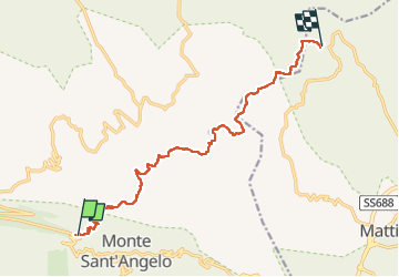

Length
14.1 km

Max alt
768 m

Uphill gradient
451 m
Km-Effort
20 km

Min alt
460 m

Downhill gradient
560 m
Boucle
No
Creation date :
2025-05-14 06:46:29.133
Updated on :
2025-05-14 13:59:24.4
4h18
Difficulty : Very difficult

FREE GPS app for hiking
 SityTrail
IGN / Geographical institutes
SityTrail Plus
The world is yours!
About
Trail Walking of 14.1 km to be discovered at Apulia, Foggia, Monte Sant'Angelo. This trail is proposed by jeanmarcMasson.
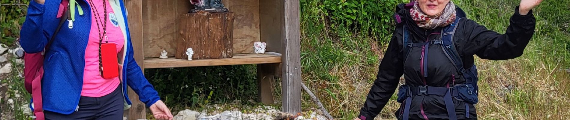
Photos

Positioning
Country:
Italy
Region :
Apulia
Department/Province :
Foggia
Municipality :
Monte Sant'Angelo
Location:
Unknown
Start:(Dec)
Start:(UTM)
579273 ; 4617899 (33T) N.
Comments